Susie and I arrived in Brittany on Saturday afternoon. We're staying in a gite outside the village of Saint-Coulomb, which is about half way between Saint-Malo, the celebrated resort city and port, and Cancale, a smaller city on the Bay of Saint-Michel that is famous for its oysters. Saint-Malo struck us as big, busy, and touristy. Cancale, although it has its own tourists, feels more of like a working city.
We've spent a couple of days visiting Cancale, even taking in an English-language showing of "Greenberg" at the city's municipal movie-theater; we were two out of a total of six customers. Perhaps a theme of unbalanced and angry New Yorkers in self-centered Los Angeles does not draw them in, here.
Like most of the cities and villages in Brittany that we've been able to see so far, Cancale is largely built of stone, especially granite. Cancale's church and sober houses crowd on the heights above the shore.
 Oysters, their cultivation, and their harvesting play such an important role in Cancale that the city's main square, in front of the church, has a statue/fountain of women washing oysters in baskets.
  The people of Cancale have made their living from oysters for many years. There's a painting by John Singer Sargent that shows the oyster gatherers of Cancale in 1875. At restaurants along the coast of Brittany, the menus advertise "huitres de Cancale." I came across a report, though, that although some Cancale oysters are still the indigenous delicate oyster of Brittany, these are disappearing and have been largely replaced by a faster-growing breed from Japan. Restaurant menus distinguish these as, respectively, plattes and creuses.
You can buy oysters, along with other seafood, at Cancale's weekly market, held on Sunday mornings in the streets behind the church.
 Or you can buy oysters from the sellers whose stands line the quay right where the oysters are cultivated and gathered. As compared to oysters sold in restaurants, these oysters are sold at miracle prices. As attested by the piles of oyster shells and lemon rinds below the quay, many are eaten on the spot.
 Cancale's oyster beds, acres and acres of them, lie right next to the city. As the tide starts to go out, the oyster beds begin to emerge from the water.
 And when the tide is low, you can begin to see the extent of the oyster beds.
 The oyster gatherers head into the beds, using tractors to haul the oysters back to shore near the city's port area of La Houle.
 La Houle lies on the other side of the jetty from the oyster beds. It looks over moorage for commercial and pleasure boats, most of which end up beached at low tide.
 The waterfront at La Houle is lined with restaurants, ranging from elegant places with pastel cotton napkins folded into wine glasses to creperies with paper place mats. Almost all of these restaurants give place of pride to seafood, and especially oysters.
 Cancale also has stretches of coastline that remain much wilder. A trail, at times a little rough, runs along, up, down, and around the headlands.
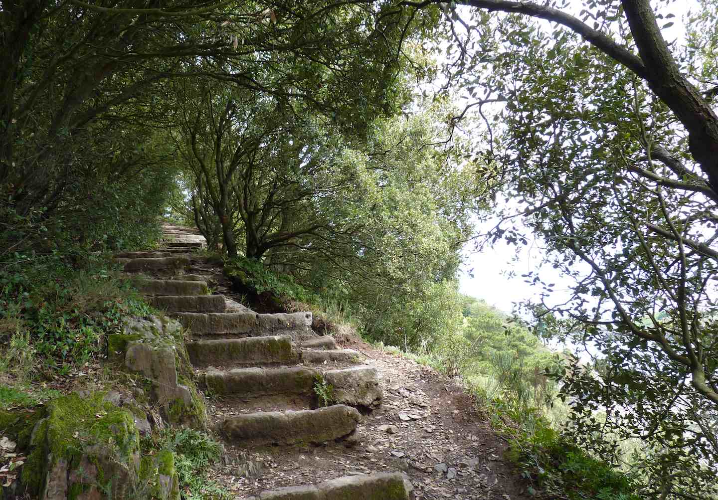 From the trail, you can see rocky beaches and islands, including the Ile de Rimains, which has a fort built at the end of the 18th Century to plans designed by Vauban. The island is private property and once belonged to the late Lionel Poilane, the famous baker of bread.
 As you walk back into town, you can see the variety of stone houses that typify buildings here. While perhaps not as welcoming as houses in some other parts of France, Cancale's houses can have a lot of charm.